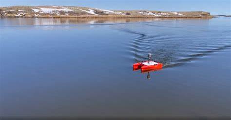
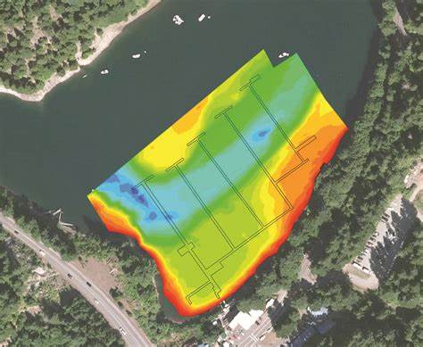
Computerized bathymetry is a survey method for collecting data on water depths and obstructions In lake beds, ponds, or rivers and is the first step in beginning a dredging project.
Rowboat employs the “Josh Allen #17” Bathylogger ROV Catamaran tied to a BL-700 echosounder coupled with a GNSS GPS Survey Trimble in order to produce detailed maps accurate to 1 cm. The data is then input into
HydroMagic software to produce depth and contour maps overlayed on your site.
It is an important tool for permitting and also for verification when run before/after a dredge job is completed to ensure all specifications are met.


